El Dorado: The City of Gold That Drove Men Mad
The Mystery
For five centuries, explorers have risked everything chasing a rumor: a city of gold hidden somewhere in the Amazon. El Dorado—literally "the golden one"—started as a Muisca accession ritual in the high Colombian plateau, where a new leader was ritually secluded and anointed with gold dust and emeralds before a sacred lake ceremony. When Spanish conquistadors heard the tale in the 1530s, filtered through indigenous intermediaries and colonial interpreters, it mutated into something far more tantalizing: an entire civilization built on solid gold, waiting to be claimed.
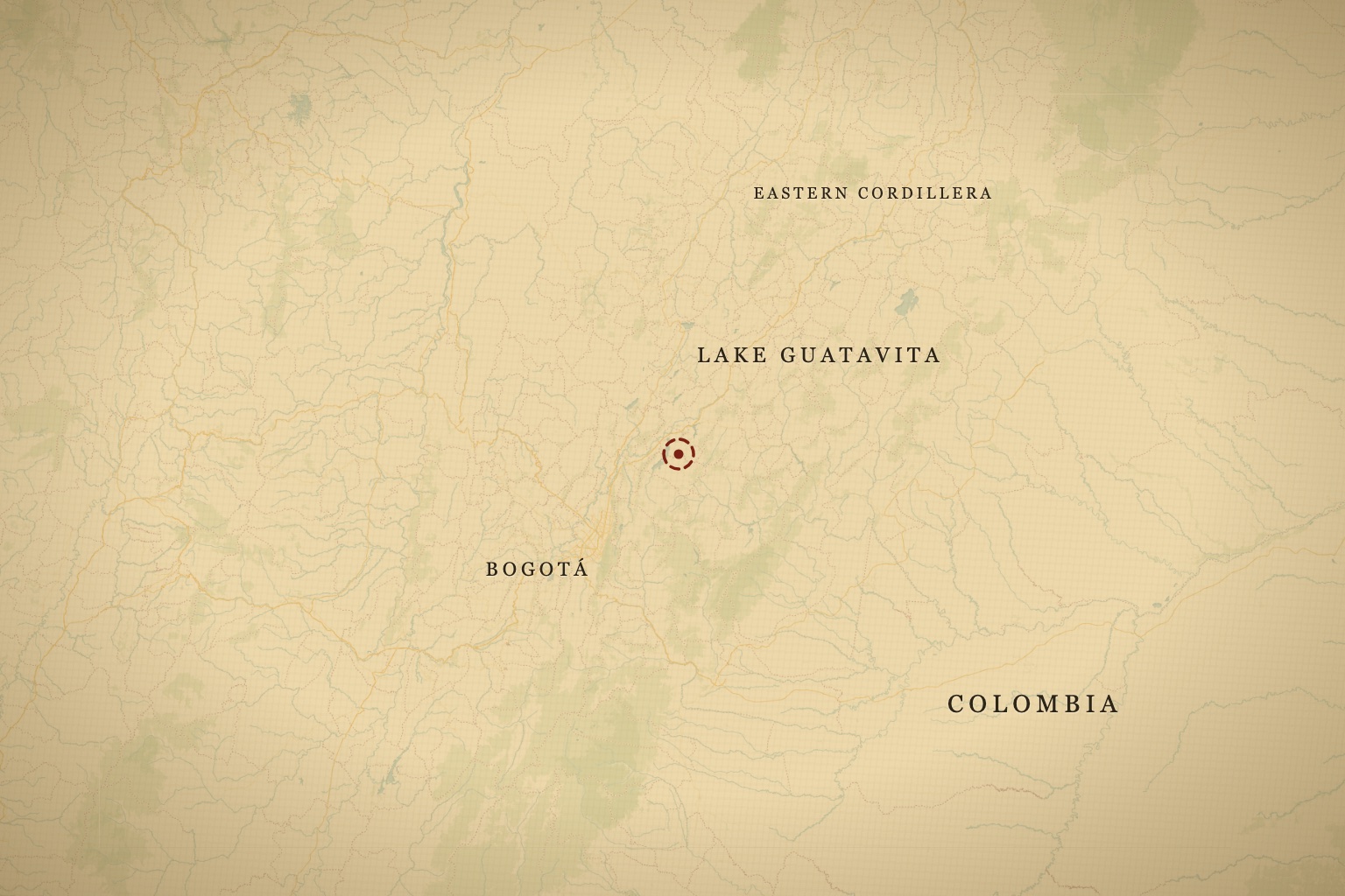
The legend crystallized around the account in El Carnero, the 17th-century chronicle by Juan Rodríguez Freyle, a Spanish historian writing from Bogotá. He recorded not a single city but a lake—Guatavita, in the Andean highlands—where the Muisca people had allegedly made an offering of gold so vast that it covered the water's surface. By the time that story reached Europe, it had multiplied: Guatavita became merely the gateway to a hidden empire somewhere deeper in the jungle, a golden kingdom ruled by a priest-king who adorned himself in precious metals and ruled over cities of unimaginable wealth.
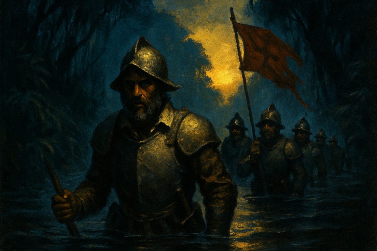
Men died by the thousands chasing that phantom. Jiménez de Quesada lost half his expedition in the 1530s to disease and starvation; Francisco de Orellana's men perished descending the Amazon. Gonzalo Pizarro pushed into the Ecuadorian highlands with 200 Spanish soldiers and 4,000 indigenous porters in 1541—only he and a handful of others walked back out. Centuries later, Sir Walter Raleigh launched two ill-fated expeditions into what is now Venezuela, seeking a city called Manoa on the banks of a phantom lake called Parime. His son Wat died in the jungle during the second attempt in 1617; Raleigh himself was executed in London on his return, having failed to produce the gold he'd promised the Crown. The legend drifted southward through the colonial period, morphing into new locations—the Llanos de Mojos, the foothills of Peru, the deep Amazon—before Alexander von Humboldt's precise cartography and botanical surveys essentially erased it from respectable maps by the early 1800s, leaving it to prospectors, adventurers, and the occasional scientist chasing half-remembered indigenous accounts.
What Josh Gates Found
Gates took the legend on directly in a two-part Expedition Unknown arc — "The Quest for El Dorado" and "Uncovering the Golden City" (Season 9, August 2021) — trekking into Colombia to retrace the conquistadors' route and meet the descendants of the Muisca, the people whose gilded-chief ritual started the whole story. The question that drives modern archaeology is simpler than the conquistadors asked it: not "Is there a city of gold?" but "What were indigenous peoples actually building?" The answer, emerging from decades of fieldwork, is that the societies of the Amazon and Andes were far more sophisticated than colonialists gave them credit for.
In the highlands, Lake Guatavita itself has been the target of repeated attempts to drain it and find the gold. In the 1580s, Spanish engineer Antonio de Sepúlveda orchestrated a drainage operation that actually worked—he cut a notch in the lake's rim and lowered the water level by 65 feet, exposing muddy banks where workers found gold pieces and emeralds, confirming that the Muisca did make ritual offerings. But the amounts were modest, and no treasure trove emerged. Three centuries later, a British company took another run at it: beginning in 1898, Contractors Ltd. tunneled under the lake and by 1904 had drained it — only to watch the exposed mud bake in the high-altitude sun into a surface too hard to dig. The operation recovered a modest haul of gold objects, some auctioned at Sotheby's, and went bankrupt without ever finding a hoard.
The Muisca Raft, now housed in Bogotá's Museo del Oro (Carrera 6 No. 15-88), is the most tangible surviving artifact of that ritual practice. Carved from a single piece of wood and inlaid with gold, it depicts a ruler and his attendants—not a king commanding a golden empire, but a religious ceremony, a moment of cosmic renewal. The raft doesn't prove the existence of a hidden city. It proves that wealth, in the form of gold, was ritually transformed into spiritual offering. The conquistadors were looking for banks; the Muisca were making religion.
As one moves eastward into the vast lowlands, the archaeological narrative shifts from partial confirmation to something far more intriguing. LiDAR surveys—aircraft-mounted lasers that cut through jungle canopy and reveal hidden earthworks—have exposed the footprints of pre-Columbian cities and settlements across the Amazon and adjacent regions. In 2022, researchers using LiDAR revealed the scale of settlement in the Llanos de Mojos (now Bolivia), documenting the Casarabe culture's massive earthwork systems: raised fields, canals, and mounded plazas that supported complex societies from roughly AD 500 to 1400. Similar work by researchers like Michael Heckenberger in the Upper Xingu River region has mapped vast settlement networks and agricultural grids, showing that the "pristine wilderness" was actually a cultural landscape shaped by thousands of years of indigenous engineering.
None of these societies used the architectural form the Spanish called a "city"—no fortified walls, no centralized palaces in the European sense. But their scale was immense. The Casarabe settlements alone may have housed tens of thousands of people across interconnected communities. And the wealth wasn't gold in the hoarded sense; it was agricultural surplus, stored in raised fields and distributed across trade networks. Tumbaga—a gold-copper alloy that indigenous metallurgists perfected—allowed them to extend limited gold supplies into ornamental and ritual objects. It was a technology born of constraint, not plenty.
Historical Context
The reason the Spanish found so little gold despite the legend's insistence on mountains of it is not that the cities were hidden elsewhere. It's that European and indigenous concepts of wealth, power, and empire were fundamentally misaligned. The Muisca and other Andean societies were wealthy in the things that mattered to them—agricultural productivity, control of vertical ecological zones, elaborated trade networks—and they expressed that wealth through careful ritual, not ostentatious display. Gold was important, but as a medium of transformation and prestige, not as a store of value.
Modern archaeology has shifted from asking "Was El Dorado real?" to asking "What were these societies actually doing?" The LiDAR revolution of the past decade has made it possible to see beneath the jungle canopy and detect structures that oral history, documentary evidence, and ground surveys had only hinted at. Every year, researchers find new sites: geoglyphs in western Amazonia, settlement patterns that suggest population densities far higher than previously estimated, evidence of complex water management in regions once assumed to be sparsely populated.
The 2022 findings in the Llanos de Mojos are a case in point. Previously, that region was known from fragmentary Spanish colonial accounts and scattered archaeological surveys. LiDAR revealed an interconnected network of settlements, canals, and raised fields spanning thousands of square kilometers—a landscape that could only have been created and maintained by coordinated, hierarchical societies with engineering expertise and long-term planning. Similarly, Heckenberger's work mapping the Upper Xingu settlements in central Brazil revealed a sophisticated geopolitical landscape with towns, roads, and evidence of inter-regional trade—none of it visible without LiDAR and without collaboration with indigenous communities who preserved oral histories of these places.
Why It Matters
The hunt for El Dorado cost tens of thousands of lives. It also cost European mapmakers, sponsors, and kings enormous resources. Dozens of expeditions were mounted, each one starting with the conviction that the next valley, the next river, the next rumor was the key to finding the city. That conviction was not entirely irrational—the Spanish were operating on partial information, indigenous accounts filtered through translation and political motive, and the genuine surprise at how complex and sophisticated some of the societies they encountered actually were. But it was also a failure of imagination. Because what they were actually encountering—vast agricultural networks, trade systems spanning thousands of miles, engineering expertise applied to water management and settlement planning—was arguably more impressive than a city of gold. They just didn't have the framework to recognize it.
That same interpretive failure shaped centuries of scholarship. The Amazon and much of the New World were long described as "pristine wilderness," a blank space waiting for development and civilization. It's only in the past two decades that archaeology, informed by indigenous knowledge and new technologies, has revealed how densely populated and carefully managed these regions were. The conquistadors were wrong not just about the location of El Dorado but about what constituted wealth and development in the first place. They were looking for something they could extract and own. The societies they encountered were building something that could be sustained and inherited.
Visit the Region
If you want to follow the El Dorado trail, the geography is real, even if the city is not. Here's where to start:
Lake Guatavita, Colombian Highlands. High-altitude lake where the Muisca made ritual offerings. Located near Sesquilé, about 40 miles northeast of Bogotá. The lake is accessible by road; the rim is a moderate hike with views across the plateau. Best visited in the dry season (December–January or July–August). The Colombian government restricts access to protect the site and prevent looting—confirm current hours and permissions with local guides before you go.
Museo del Oro, Bogotá. Carrera 6 No. 15-88. The definitive collection of pre-Columbian gold artifacts, including the Muisca Raft and small pieces recovered from Guatavita. Closed Mondays; open Tuesday–Saturday 9 a.m.–7 p.m. and Sunday 10 a.m.–5 p.m. (verify before visiting). Plan 2–3 hours. English-language audio guides are available. This is where the narrative shifts from legend to archaeology.
Llanos de Mojos, Bolivia. The vast flatlands of northeastern Bolivia are where LiDAR revealed the Casarabe settlement networks. Access is via Trinidad (a small river town) or seasonal overland routes. This is remote, wet, and logistically demanding. Best attempted during dry season (May–October). Arrange permits and local guides through ecological tourism operators in La Paz or Santa Cruz de la Sierra. The sites themselves are often difficult to interpret on the ground without expert interpretation—the earthworks are visible, but understanding their function requires background reading or a knowledgeable guide.
Acre Geoglyphs, Brazil. In the far western Amazon (state of Acre, near the Peruvian border), satellite imagery and LiDAR have revealed geometric earthworks—squares, circles, rings—of unknown purpose and age. Access is via Rio Branco (the state capital) or overland from southern Peru. This region is remote and sees few tourists. Arrange travel through ecological tour operators or the Brazilian environmental agency. These sites are still being studied; what you see on the ground may offer little without explanatory context from recent research.
All of these places are real, and all of them are worth visiting if you're interested in what pre-Columbian societies actually built. None of them are El Dorado. But they're more remarkable in their own way.
The El Dorado legend is featured in Expedition Unknown's two-part Season 9 arc with Josh Gates, an explorer and TV host who has spent decades investigating historical mysteries and archaeological sites across the globe.
Covered On Screen
- The Quest for El DoradoExpedition Unknown · S9 E4
- Uncovering the Golden CityExpedition Unknown · S9 E5
Explore the sites mentioned in this post on the interactive map.
Open the Tracker